
Software
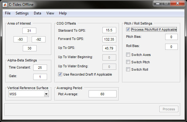
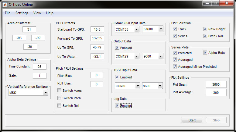
C-Tides® Software
C-Tides software provides worldwide ocean tidal data from GNSS measurements. It combines the real-time accuracy of Precise Point Positioning (PPP) corrected C-Nav height measurements with the latest global MSS and MSL models to produce highly accurate real-time tidal data when out of range of traditional shore-based tide guides.
Download the Brochure
Contact Us
Our team of experts is ready to help you get started.
Oceaneering offers best-in-class products and solutions, backed by unparalleled quality, reliability, and global support. Fill out the inquiry form to start a conversation today.