
Visão geral
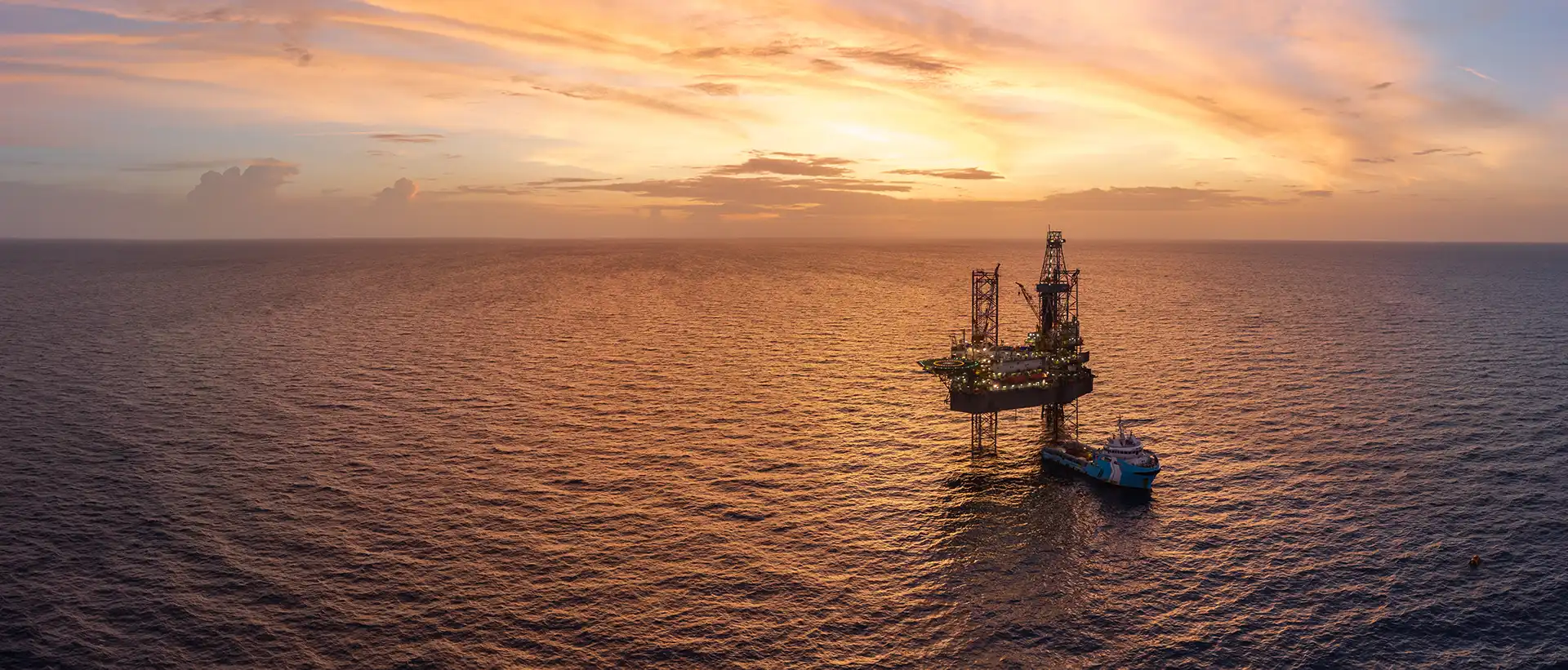
When a Gulf of America operator mobilized a deepwater drilling rig for its latest well campaign, accurate positioning and subsequent subsea metrology services were essential to keeping activities progressing safely and efficiently.
The latest remote positioning and metrology campaign represented more than another successful well intervention support scope. It marked the latest chapter in a 10-year relationship that has seen us support more than 44 location moves on the same deepwater drilling asset while continually expanding the scope of remote survey services delivered to the client.
Our Plan
To support the client's latest well campaign, we delivered a combined remote rig positioning and remote metrology solution through our remotely operated survey infrastructure.
The work began with accurately positioning the drilling rig at its approved well location before later performing subsea metrology measurements required to support field development activities.
Having supported the asset through more than 44 remote location moves over the past decade, our team was able to integrate survey activities seamlessly into the wider drilling campaign. Rather than driving the schedule, positioning and metrology operations were coordinated alongside ongoing rig activities, helping the client maintain operational efficiency and flexibility.
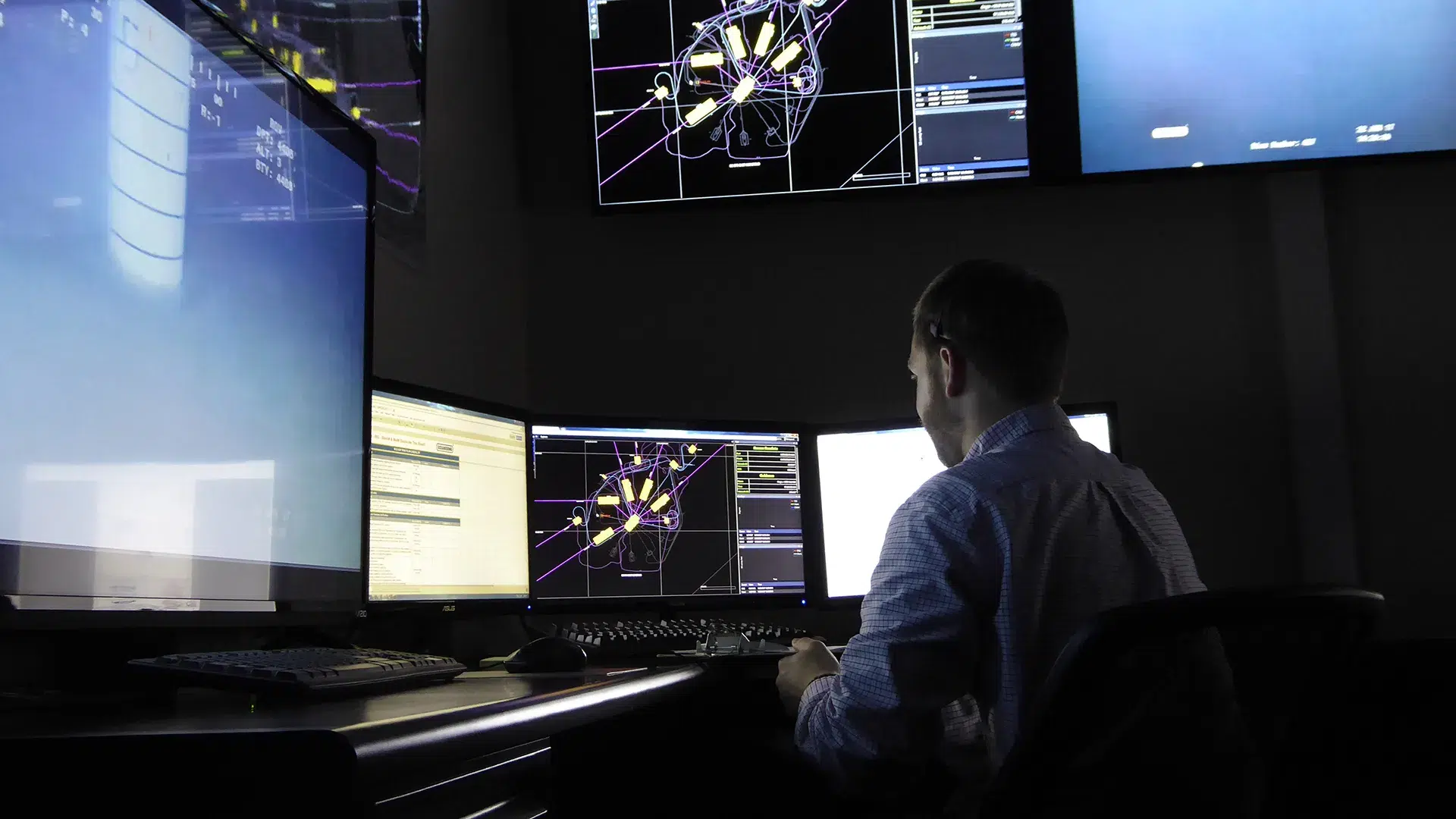
By leveraging operações remotas, the client reduced the need for offshore survey personnel while retaining access to the expertise and support required for critical survey activities. The approach also provided greater schedule agility, enabling work to adapt to changing operational priorities without the delays often associated with offshore mobilization.
Throughout the campaign, we delivered the precision required for both services, achieving decimeter-level positioning accuracy and centimeter-level metrology accuracy through a proven remote operating model refined over more than 10 years of continuous delivery.
Value Delivered
The latest campaign successfully demonstrated the benefits of combining remote positioning and metrology into a single operational workflow, but the broader value lies in the long-term results.
Over the past decade, we have supported more than 44 remote location moves on the same drilling rig, creating a proven operating model the client can rely on from campaign to campaign. The familiarity developed through years of repeat execution allows survey activities to be deployed quickly, integrated alongside ongoing rig operations, and adapted as schedules change.
By eliminating the need to mobilize survey personnel offshore for every scope, the client avoids approximately 40 offshore personnel days per traditional rig move while maintaining access to accurate positioning and metrology support. Combined with greater than 99.9% communications uptime and proven positioning accuracy, the result is a remote survey model that continues to deliver efficiency, flexibility, and confidence across multiple drilling campaigns.
After a decade of delivery, the result is a trusted remote survey model that continues to combine accuracy, efficiency, and operational flexibility, supporting one of the most frequently moved drilling assets in our remote operations portfolio.