
Software
C-Tides® Software
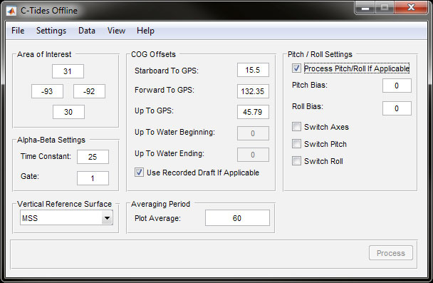
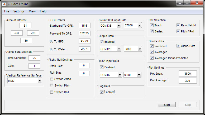
C-Tides software provides worldwide ocean tidal data from GNSS measurements. It combines the real-time accuracy of Precise Point Positioning (PPP) corrected C-Nav height measurements with the latest global MSS and MSL models to produce highly accurate real-time tidal data when out of range of traditional shore-based tide guides.
Descargar el folleto
Contacte con nosotros
Nuestro equipo de expertos está listo para ayudarle a empezar.
Oceaneering ofrece los mejores productos y soluciones de su clase, respaldados por una calidad, fiabilidad y asistencia global inigualables. Rellene el formulario de consulta para iniciar una conversación hoy mismo.