
Visión general
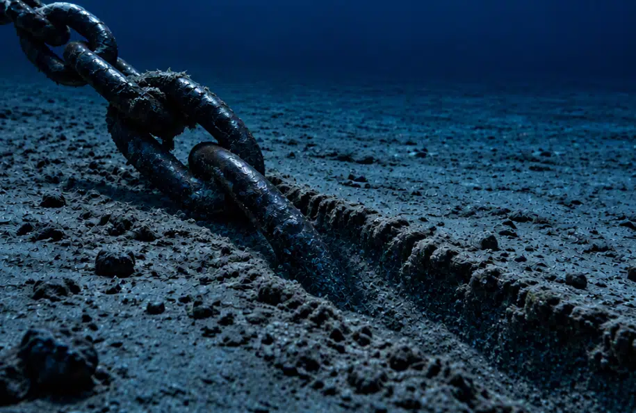
A major operator wanted to capture detailed information on mooring line trench characteristics around one of their offshore floating production, storage, and offloading (FPSO) vessels.
As mooring systems interact with the seabed over time, trench formation can provide valuable insight into platform movement, seabed condition, and long-term asset performance.
Traditional trench assessments typically rely on discrete measurements taken at specific locations. While effective for basic needs, these methods offer limited insight into the full trench geometry and surrounding seabed conditions. Using our subsea survey services to capture photogrammetric data gave the operator a more comprehensive understanding of trench development.
Our Plan
We performed the survey using a Millennium ROV equipped with a dedicated photogrammetry camera and lighting package.
The camera system was mounted in the ROV manipulator using a specially engineered bracket assembly, allowing operators to capture data in difficult-to-access areas that would have been challenging to document using a fixed ROV-mounted system. This approach enabled comprehensive image capture across complex asset geometries while maintaining the flexibility needed to adapt to varying survey conditions.
To ensure complete coverage, our survey team used the ROV to complete multiple acquisition passes from different viewing angles, including side profiles, opposing trench perspectives, and overhead passes. The system captured the full trench geometry while also documenting surrounding seabed features and anchor pile conditions.
Working at this depth and in strong subsea currents affected both the ROV operations and data capture. Through careful flight planning and adaptive survey execution, the team successfully collected the imagery required to generate high-quality digital models of each trench.
We processed the imagery into detailed point clouds and measurement deliverables, allowing the client to view and assess the trench characteristics in greater detail than previously possible.
Value Delivered
The photogrammetry survey provided the operator with a complete digital representation of each trench rather than a series of isolated measurements.
The resulting datasets enabled accurate assessment of trench geometry, anchor pile conditions, and mooring line interaction with the seabed. Survey accuracy exceeded the project’s required tolerances, providing greater confidence in the resulting measurements.
The digital models established a baseline that can be used for future comparison, helping the operator track changes over time and make more informed asset integrity and mooring system management decisions.