
Resumen del proyecto
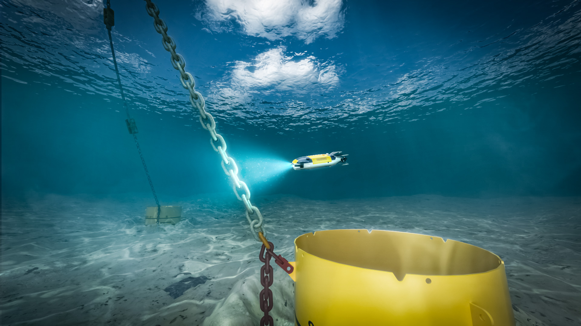
The client required an annual underwater inspection in lieu of drydocking (UWILD) scope that included the assessment of their mooring lines across multiple platforms in the Gulf of Mexico.
The inspections focused on assessing the condition of mooring chains, including any degradation of material, damage, and geometry changes. The project was critical to providing the data continuity and quality that supported comparison of the assets’ condition to information from prior campaigns.
Historically, the work included photogrammetry-based inspection performed by a third party. For the most recent campaign, we assumed responsibility for the UWILD scope and executed the work using ROV-based photogrammetry deployed from the Brandon Bordelon vessel over a 16-day offshore period.
Nuestra solución
We delivered a fully ROV-based photogrammetry inspection approach to capture high-resolution datasets, supported by a dedicated offshore survey team working alongside the ROV crew on the vessel.
Instead of collecting discrete measurements at selected points, our approach captured the full geometry of each targeted chain link. This enabled full-length visualization and provided a more complete dataset for integrity assessment. The scope included:
- Acquisition of photogrammetric data across targeted chain section
- Generation of 3D point cloud models
- Extraction from measurements and identification of localized damage or anomalies
- Delivery of reporting packages including imagery, measurements, and modeled outputs.
Where data requirements changed late in the process, the photogrammetric approach enabled reprocessing without the need for additional offshore acquisition.
Value Delivered
The campaign demonstrated the practical advantages of using full-field photogrammetry during UWILD scopes.
Operationally, the work was completed more efficiently than initial estimates, reducing the time for data acquisition during offshore execution.
From a data perspective, the client received a complete digital record of the chain condition rather than isolated measurements. This supports a more informed assessment of degradation, ovalization, and localized damage and provides them with a baseline for comparison in the future.