
Visión general
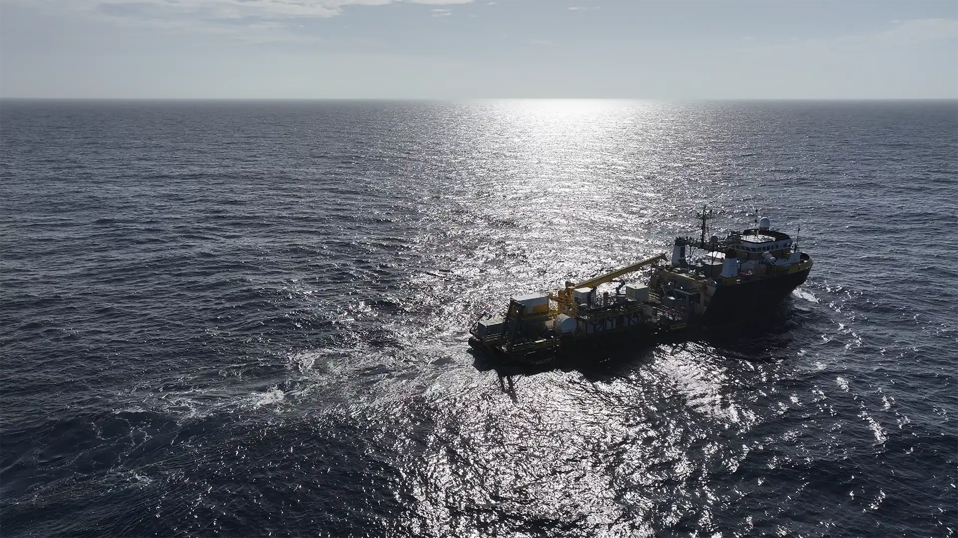
In early 2026, we completed offshore sea trials to validate a new ultra-high-resolution seismic capability developed using industry-leading Sercel Sentinel Streamer technology.
The objective was to confirm the technology and a patent-pending deployment method engineered by our survey teams could be fully integrated with existing vessel infrastructure, operated efficiently, and deliver data quality suitable to support clients’ geohazard survey projects.
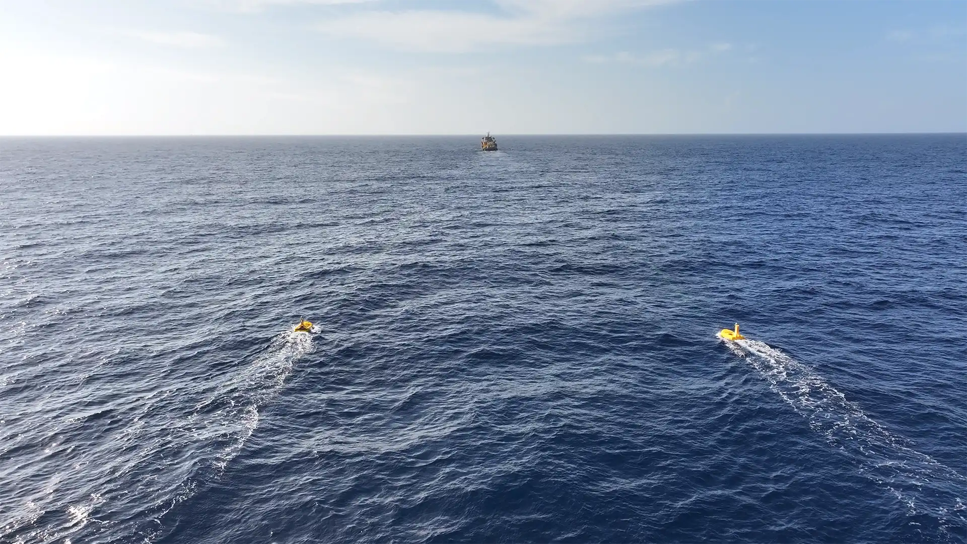
The trials moved beyond theoretical capability to field test the complete acquisition process, from deployment and recovery to real-time data acquisition, quality control, and post-processing workflows. The outcome details an approach that is not only technically functional, but one that delivers commercial and operational efficiencies when completing geohazard survey scopes.
El desafío
Geohazard surveys play a critical role in offshore development, informing well placement, foundation design, and regulatory compliance.
Engineers and geoscientists rely on accurate subsurface imaging to understand stratigraphy, structural features, shallow gas, buried objects, and seabed conditions.
Traditional approaches often involve tradeoffs between resolution and penetration or require multiple survey passes, different source types, or separate systems to achieve the necessary insight. As development timelines compress and infrastructure placement becomes more precise, clients are looking for higher-resolution data that is delivered efficiently, without increasing offshore risk or complexity.
Nuestra solución
To address increasing client demand for detailed, defensive geohazard data, the team integrated Sercel’s Ultra-high resolution Sentinel Streamer technology into the Ocean Intervention II’s existing survey configuration.
The solution focused on:
- Using Sercel’s acquisition technology to improve shallow subsurface imaging quality and spatial sampling for geohazard interpretation
- Confirming the viability of our team’s patent-pending deployment approach designed to increase efficiency and repeatability
- Integrating bespoke ultra-high-resolution streamer equipment and Sercel’s seismic navigation system
- Supporting multiple source types to balance resolution and penetration within a single survey program
- Validating end-to-end workflows, from deployment and recover through acquisition, quality checks, and processing
Value Delivered
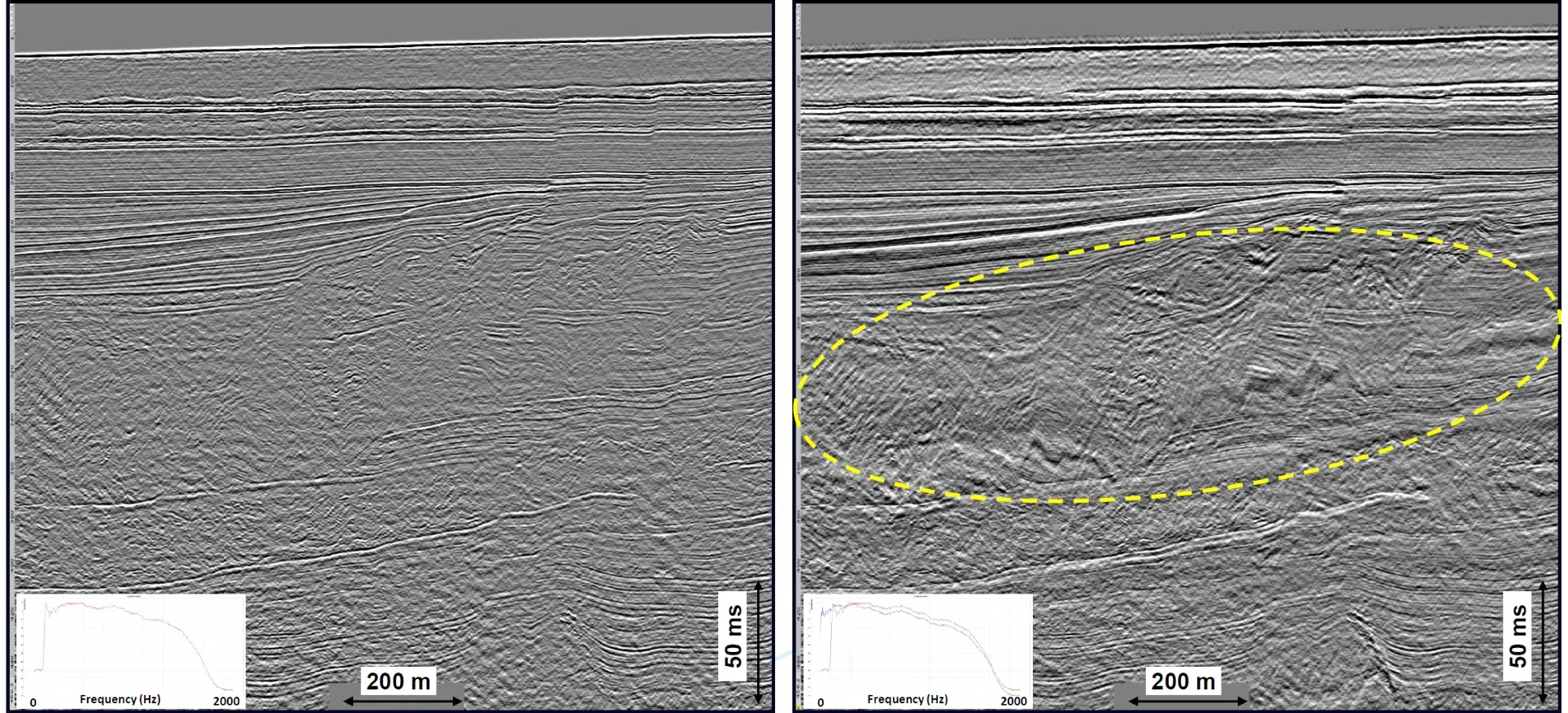
The trials confirmed this approach delivers a meaningful enhancement to shallow geohazard surveys.
Combined with proven vessel operations, the system enables:
- Higher-resolution imaging of shallow stratigraphy, gas, faults, and buried objects
- Greater confidence in engineering inputs, reducing uncertainty margins
- Efficient surveys using patent-pending, repeatable deployment method
- Consistent, defensible data quality aligned with regulatory and project expectations
Crucially, the trials demonstrated that these results can be delivered without increasing offshore risk or operational burden.